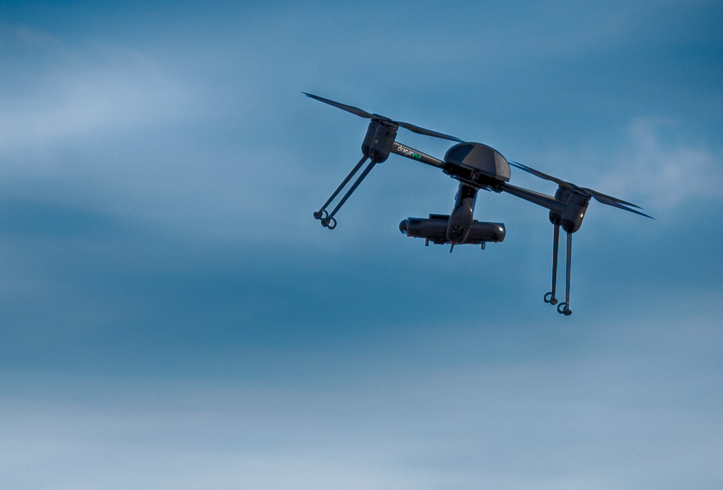
It should be no surprise that drone use has been increasing; however, most people are still unaware of the capabilities and benefits of drones in commercial, industrial, and investment real estate. Drones, formally known as Unmanned Aerial Vehicles or UAVs, have shown the ability to take crisp photos and picturesque videos. They provide a unique perspective that cannot be achieved in any other way. These photos can mean grabbing the attention of an interested buyer or not. However, using UAVs for imagery is only one piece of the puzzle. Here is a list of the top three applications of cutting edge drone technology in commercial real estate.
Application #1 – 3D Models
In today’s world, most people search for real estate online. Photographs and short videos help illustrate the property to those searching for listings on the internet. Although almost all properties these day have pictures of them, unless your property is truly unique it is unlikely to stand out. Having a 3D model of your property is a sure way to differentiate your listing from the competition. Buyers will remember your property and as a result, generate more leads.
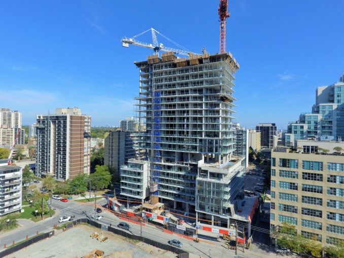
A 3D model can be created of any property regardless of whether it is a high rise, industrial building, or vacant land. The first step is to have a UAV fly the property to collect raw data. This process usually takes about 15 minutes. Then the data processed offsite is used to create the model. The model can be shown on any website and allows users to zoom, pan, and rotate around the property. It is the closest thing to visiting the property without requiring any travel whatsoever.
Application #2 – Surveying
Regardless of the project, time is always in short supply and a crucial element to success. When every hour counts a quick, efficient, and accurate survey is extremely valuable.
Using post-processing software which takes the drone photos, GPS coordinates, and orientation metrics, a computer model is created. A UAV can survey about 120 acres in about 40 minutes. The vantage point of the craft allows us to see around corners, over elevation peaks, and behind objects. Further, the data collected enables further detail with multiple orders of magnitude. Instead of say 150 to 200 data points, one survey could include upwards of 10 million data points.

Once the raw data is processed, a computer model with centimetre accuracy is created. This model can be used to share information about the project with anyone around the world, to create as-built CAD drawings, to create topographical maps, to analyze drainage and many more applications.
Application #3 – Visual Inspections
UAVs can be positioned in hard-to-reach or hazardous locations with ease and minimal risk. UAVs, called ‘multi-rotors’, are precise and are able to maintain a fixed position. They can slowly and accurately be re-positioned to provide various perspectives and can be operated indoors and outdoors. A live video feed can be shared allowing viewers to observe the inspection in real time. The UAVs in our fleet allow us to provide inspections up to 20 minutes in duration. However, if more time is required, it is a matter of a quick battery swap and the inspection can continue. All of the un-edited photographs and video can be shared within minutes of completion. Further, an inspection can be repeated to illustrate change with time.
Another benefit of performing an inspection using cutting edge drone technology is that the data collection is less intrusive on site, no person is placed in a vulnerable position, and no extensive equipment is needed.
UAV Service Providers
Like all things that sound too good to be true, there is a catch. Operating a UAV can present additional risks which is why Transport Canada (Canada) and The Federal Aviation Administration (USA) have put laws in place to protect the public. The idea is to make sure that pilots are experienced and properly trained, and that the equipment is certified and adequately insured. Not all self claimed UAV imaging companies abide by these government mandates so be sure to ask to see their certificates before liftoff.
Happy Flying.