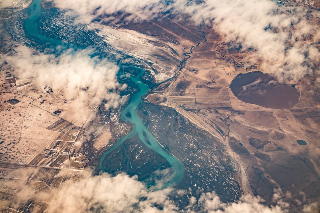
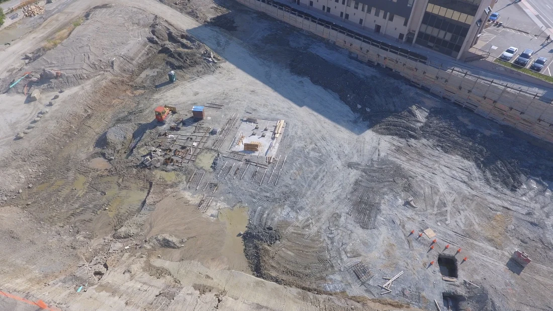
The beginning of a new project is an exciting time. There have yet to be any delays or budget overruns which we know are likely to happen at some point during the project. One of the first tasks completed on a new project is to collect data and create a topography map of the existing condition of the land. As the land is worked on this process might be repeated on a regular basis. Each time this process is done it can take a team of people a week or longer to collect the data. The advancement in Unmanned Aerial Vehicle (UAV or drone) technology has enabled topography maps to be created within a fraction of the time at a fraction of the cost.
Using UAVs for data collection is simple. Set up takes about five minutes and during the data collection there is minimal work flow interruption on site. A drone can survey about 60 acres in about 20 minutes. This is due to the vantage point of the drone as it is able to see around corners, over elevation peaks, and behind objects. In other words, what once took a team of workers weeks to complete can now be done with a pilot and an observer in a single morning.
Using post-processing software, which takes the drone photos, GPS coordinates, and orientation metrics, a topography map is created. The sheer volume of data collected enables more detail with multiple orders of magnitude. Instead of say 150 to 200 data points, one survey could include upwards of 10 million data points.
Furthermore, a fully navigable 3D model is created. This model can be used to share information about the project with anyone around the world, to create as-built CAD drawings, to analyze drainage, and many more applications.

Operating a drone can present risks which is why Transport Canada (Canada) and The Federal Aviation Administration (USA) have put certain laws in place. The idea is to make sure that the pilot is experienced and properly trained, and the equipment is certified and adequately insured. Not all self claimed drone surveying companies abide by these government mandates so be sure to ask to see their certificates before liftoff.
The use of UAVs for completing the topography scans is obvious. Quicker turnaround times in orders of magnitude, less interruptive on site, more detailed results, and with cost savings as less manual labour is required.